Posts by Maryna Semerenko
EarthDaily Agro Appoints Veteran Sales and Marketing Executives to Support Global Growth

EarthDaily Agro announced the appointment of David E Gray as Global Director of Sales & Business Development and J. Andrew Mullin as Global Director of Marketing. Gray and Mullin join the leadership team of EarthDaily Agro to scale the worldwide sales and marketing organization, supporting the company’s rapid growth. Gray is a recognized leader of…
Read MoreEarthDaily Agro Emerges as a Dominant Player for Geospatial Analytics in Global Agriculture

MINNEAPOLIS, Nov. 9, 2021 /PRNewswire/ — Satellite imagery and data is helping agriculture companies grow to new heights. EarthDaily Agro, the agricultural division of EarthDaily Analytics, has reported significant growth in 2021 as demand for geoanalytic data rises. “EarthDaily Agro has achieved significant growth thus far in 2021 fueled by its focus on fintech and Brazil” said Don Osborne, Chief Executive Officer of…
Read MoreEmployee Spotlight: Rachel Leonard
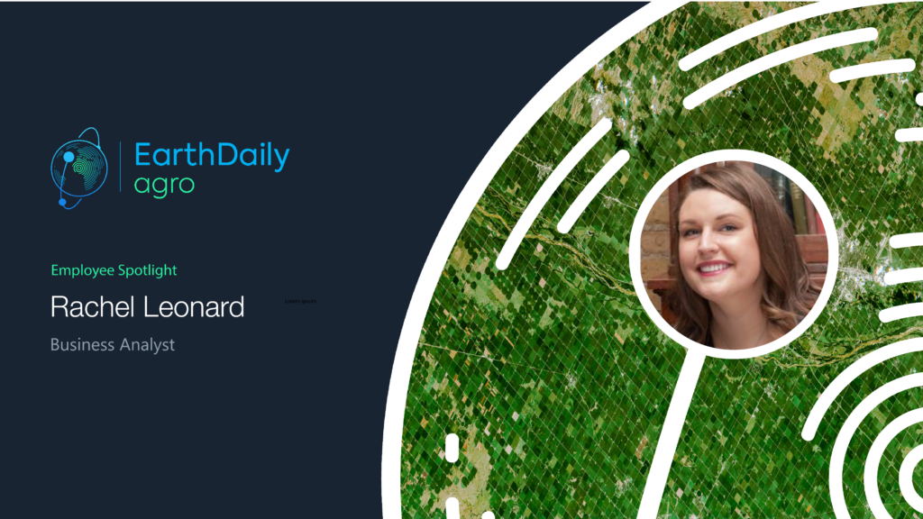
How long have you been at EarthDaily Agro? 10 years! What’s your current position, and what does it entail? I am a business analyst, and my role is primarily to interface between sales, key accounts, development, data science, and operations teams to follow the project’s lifecycle from inception to delivery! I create a lot of…
Read MoreEmployee Spotlight: Tatiana Uehara
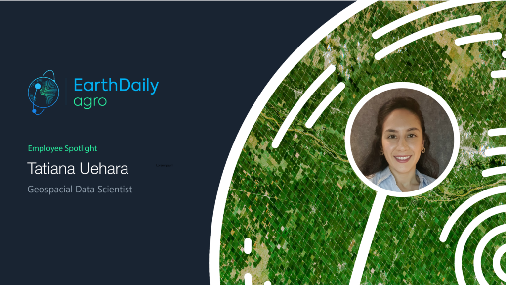
How long have you been at EarthDaily Agro? I joined EarthDaily Agro two years ago. I have a degree in Geography from the University of São Paulo in Brazil and a master’s degree in Remote Sensing from the National Institute of Space Research (INPE). I lived in Seoul, South Korea, for six months during a…
Read MoreEarthDaily Analytics Announces Timeline for the Launch of Next Generation Satellite Constellation

EarthDaily Analytics unveils plan to launch a new ground-breaking constellation in 2023 July 20, 2021 – Vancouver, BC – EarthDaily Analytics Corp., a vertically integrated data processing and analytics company, today announces the timeline for the launch of the company’s new constellation of earth-observing satellites. The EarthDaily satellite constellation will significantly enhance geospatial analytics…
Read MoreRemote sensing for oilseed rape fertilisation – How EarthDaily Agro supports nitrogen management.

Satellite imagery technology is a component of precision agriculture that accompanies agricultural practices. During this winter period in Western Europe, satellite images are being used on winter oilseed rape fields to adapt nitrogen fertilisation and better distribute it into the field, thanks to variability maps. Biomass is an indicator of the amount of nitrogen absorbed…
Read MoreRevolutionizing the Agricultural Financial Market
Using Data and Technology to Mitigate Uncertainties, Increase Operational Efficiency, and Reduce Costs Founded by MIT alumni, the ag-fintech company Traive is embracing technology to disrupt the financial industry. In fact, their current mission is to revolutionize the agricultural finance sector through data technology and machine learning. Based in Brazil and the U.S., the…
Read MoreRoundtable Recap: AgTech – The Role of Tech in a New Green World

On Tuesday, November 9, Bloomberg hosted a virtual roundtable to discuss how decision-makers in the AgTech industry are utilizing technology to give business and society new tools to tackle the world’s most perplexing issues. Through the lens of emerging technologies, industry leaders examined how local economies can use technology to become more self-sufficient in agriculture,…
Read MoreSatellite remote sensing reduces risk for agriculture credit lending
Geospatial data tools allow the crop history of each field to be analysed for better decision-making or lenders and growers Farming credit has been a fundamental tool for the development of Brazilian agriculture for decades, growing significantly to meet the demand of the Brazilian agricultural sector. Between 1995 and 2018, the amount of credit officially…
Read MoreSpend less data scientists’ time cleaning data: High-quality cloud masks for Sentinel2, Landsat, and others available today
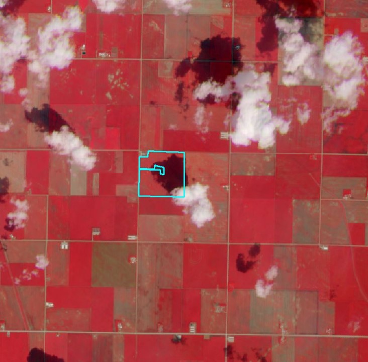
Earth Observation has a long history of serving agriculture, from governments to many types of agribusinesses. Recently, new advances have equipped providers with a greater ability to drive even more value. In producing high-quality geospatial analytics, one of the major challenges for providers is clouds, shadows, and haze on satellite imagery. Crop monitoring by satellite…
Read More