Powering Fast-Paced, Proactive Decision-Making For Ag Trader
An agricultural commodity trader relies on EarthDaily Agro’s <geosys/> platform—satellite imaging, geospatial analytics and expert service—to monitor and forecast global crop production, take strategic action and stay ahead of the competition.
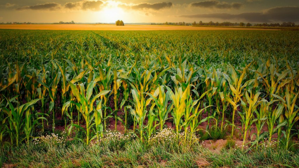
Trading in global agricultural commodities such as corn, soybeans, coffee and cotton can be a high-risk activity, potentially exposing traders to big losses. Market volatility is a near constant obstacle, and being a successful trader requires fast-paced, proactive decision-making. For over 30 years, an international trading firm has successfully traded agricultural commodities by applying the unique formula of modeling, technology and quantitative research to identify opportunities in the global agricultural trading markets.
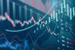
To help traders anticipate supply and demand, the firm relies on satellite imaging, geospatial analytics and insights from EarthDaily Agro. Harnessing this Earth Observation data gives traders the information to identify when and where crop supply and futures will trade at favorable prices. They can track long-term trends, monitor shorter-term change and take guided, strategic action. Having access to geospatial insights in near real-time allows traders to capitalize on market opportunities before the rest of the market catches up.
“EarthDaily Agro gives us more than data. EarthDaily gives us the expert service to interpret the data, which helps us make decisions, act quickly, and get results.”
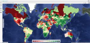
EarthDaily Agro’s <geosys/> platform includes a robust data stream based on satellite and additional imagery, a powerful app with analytics-ready data and expert analytical services. Vegetation indexes include NDVI, EVI and more. Weather data is a multi-model dataset covering historical, current and forecast conditions. Agronomic analytics include yield variability and goal, among others. This data can be masked, or layered, depending on the specific crop. Analytics-ready data can be used in artificial intelligence and machine learning applications seamlessly, securely, and rapidly.
Moreover <geosys/>, provides this important weather and vegetation data at both a micro and macro level: field, farm, region and continent.
With this information, traders actively monitor and forecast crop production, both globally and regionally, ahead of other broadly used data sources such as the USDA. The powerful app also allows enables the trading firm to pull data efficiently and quickly into their own models.
But more than aggregating the data, EarthDaily Agro specializes in the human connection: Expert agronomists who understand the local economy meet regularly with traders to review data and discuss how to apply it for best advantage.
Every moment counts in the global agricultural commodities market. Traders require powerful tools to anticipate supply and demand—to know when and where crop supply and futures will trade at favorable prices. With EarthDaily Agro, traders know more and know it sooner—ultimately helping them outmaneuver the competition.
On the horizon: Daily observation from EarthDaily Analytics
Coming soon, EarthDaily Analytics will launch the EarthDaily satellite constellation, the world’s most powerful global change detection and analysis system. In a unique combination of 23 spectral bands, the satellites will collect scientific-grade and analytics-ready imagery of the Earth’s land mass captured every day, at the same time of day and made available within hours through a cloud-based platform.