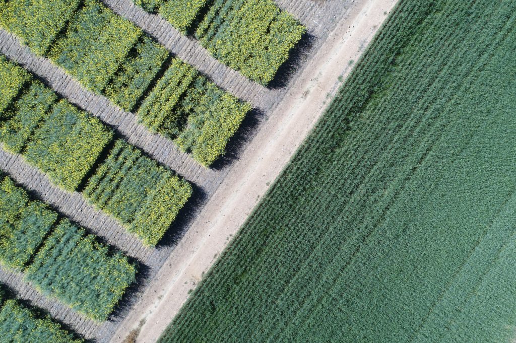
We provide a set of technical resources supporting developers and data scientists on how to best leverage the geosys Platform. You will find a showcase of projects, packages, connectors, documentation, and templates to create new analytics based on satellite and weather data inputs. Engage with the latest plug-ins and libraries of content related to images, mapping, and development kits, including Qgis, ArcGis, GeosyPy, and Analytic Stream Formatter.
GitHub
ArcGIS Pro
QGIS
GeosysPy


