Reducing Financial Risk for a Global Insurance Leader
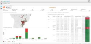
The <geosys/> dataset provides the insurer with the information needed to analyze weather and climate conditions and make informed decisions for writing policies and responding to claims.
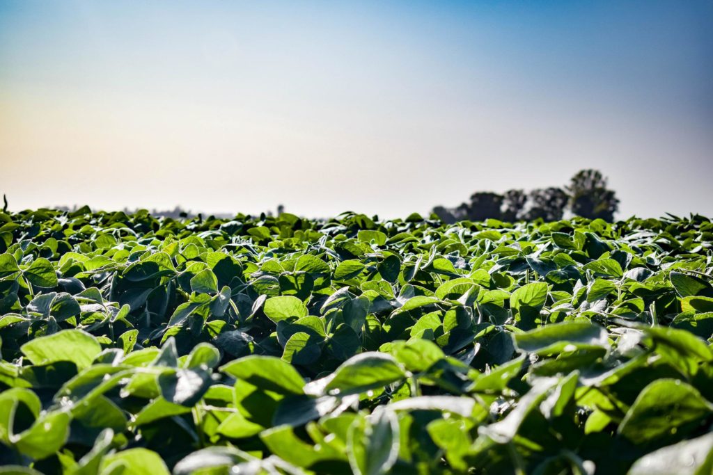
Millions of hectares across Brazil—approximately a third of the country’s land area—are devoted to agriculture. In particular, corn and soybean production has increased significantly in recent years because of rising demand, better crop prices and technological developments.
The trouble is, underwriting crop production can require insurers to devote significant resources to write policies, monitor progress and respond to claims. To help mitigate risk and control costs, a major agricultural insurer in Brazil relies on geoanalytics from EarthDaily Agro.
EarthDaily Agro’s powerful <geosys/> platform captures Earth Observation data—remote sensing of the Earth’s surface—and combines this data with satellite-based analytics to help insurers make informed decisions based on ground-level conditions. The <geosys/> platform includes a robust data stream compiled from satellite and additional imagery, a powerful app with analytics-ready data and analytical services with EarthDaily Agro’s expert agronomists.
For this insurer, several steps of the process needed to be digitized and automated to more adequately measure risk. With API connectivity, easy-to-use dashboards and daily updates, the <geosys/> platform fulfils any insurer’s needs and then some.
“We have noticed a lower claim rate when using EarthDaily Agro solutions. This directly impacts the company’s performance, because we have the right answers at the right time for the best decision-making.”

The information from the <geosys/> platform allows adjusters to more efficiently evaluate claims, assess conditions at the time of a given event, and determine which claims merit a site visit. As a result, an insurer can respond quickly and accurately to farmers’ applications and claims.
On the horizon: Daily observation from EarthDaily Analytics coming soon, EarthDaily Analytics, the parent company of EarthDaily Agro, will launch the EarthDaily satellite constellation, the world’s most powerful global change detection and analysis system. Through a unique combination of 22 spectral bands, the satellites will collect scientific-grade and analytics-ready imagery of the Earth’s surface captured every day, at the same time of day and made available within hours through a cloud-based platform.