Introducing the next generation software platform geosys

The geosys Platform is a cloud-based service that provides the critical capabilities needed throughout the analytic process - from data connectivity to the data preparation and enrichment needed to create analytics-ready data, to advanced analytics and modeling, to flexible delivery options that provide reporting, visualization, and collaboration - all without compromising security or governance.
With our solutions, you’ll be supported by decades of proven experience and superior services that follow your needs, from implementation and delivery management to advanced industry-specific analytics and machine learning. Partnering with our team of business experts will provide you with the intelligence and technology needed to drive results and empower an analytics-driven culture.
How It Works
Advanced data collection, processing, and presentation converge on the EarthDaily Agro geosys platform.

Data Sourcing: Collecting Raw Data
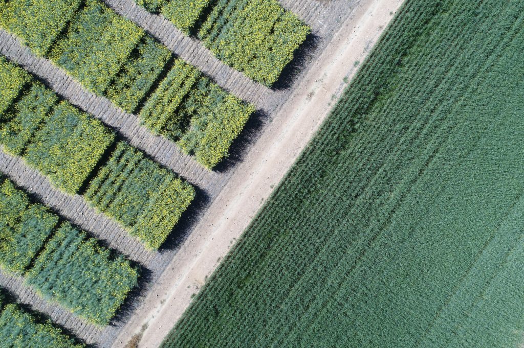
To offer our customers the most comprehensive and insightful analytics, we collect from a variety of data sources, including our EarthDaily Constellation, which provides a unique and unmatched daily flow of pixels on the entire globe, and supplemental data for weather, radar, drone, statistics, and specialty data. You can even add your own data to the mix for processing and analysis.
Data Processing: Analytic Ready Data
EarthPipeline technology translates every pixel collected and historical data into comprehensive normalized Analytics Ready Data fit for the Geosys platform.
Analyze: Advanced Analytics and Machine Learning
Combine and interpret analysis-ready data using models highlighting data patterns to create a meaningful insight at scale. Leverage AI and Machine learning to continuously improve detection sensitivity, prediction accuracy, and scalability.
Delivery: Multiple Data and Analytics Access Options for Users and Systems
Delivery Your analytics through Multiple Channels: Choose the delivery based on the user and need: Business Users, Data Scientists, Developers, and third-party systems. Expand and enrich your systems with analytics through our API, Stream, and Blocks
")


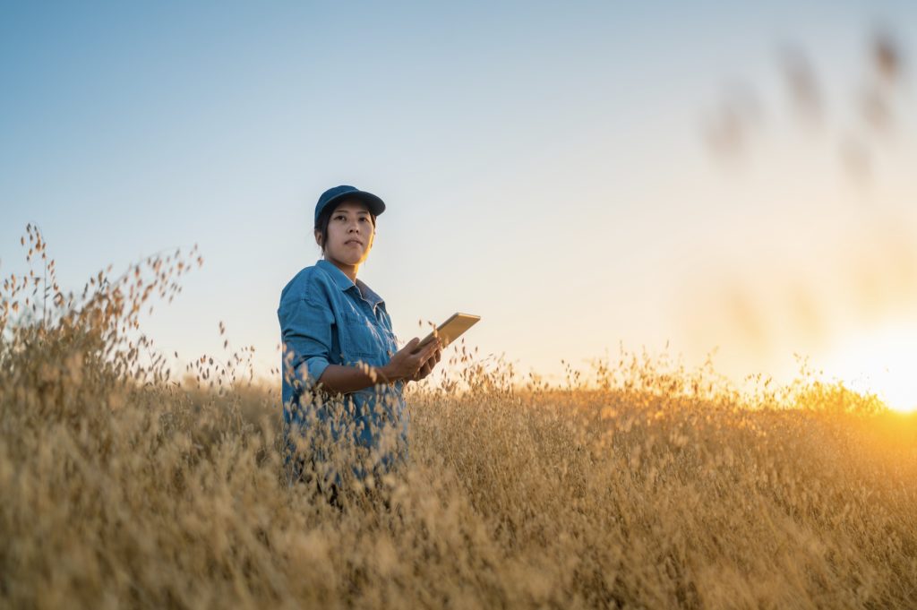
Market Segments
Our purpose is to deliver easy-to-use analytics that reduce everyday risks, making agriculture more resilient. We offer in one cloud-based platform: vegetation indexes, agronomic analytics, weather data, and notifications and warnings to meet your information needs.
Learn More
EarthDaily constellation
Our network of satellites provides the world’s most powerful global change detection and analysis system.
EarthPipeline
Fully Managed Ground Segment Pipeline for transforming downlinked satellite data into high scientific quality Analytics Ready Data.