Growing New Business for Wanaka by Creating Efficiencies With Earth Observation
Software company Wanaka helps farmers increase yields and meet compliance regulations in France through partnership with EarthDaily Agro. The <geosys/> platform—satellite imaging, geospatial analytics and expert service—drills down to the field level to determine variable-rate nitrogen applications.
French software company Wanaka supports farmers through a range of services, including fertilizer application, crop protection and soil assessment for planting. Helping farmers determine variable-rate nitrogen application is a key service, not only to reduce cost and optimize output, but also to comply with French nitrate-application regulations.
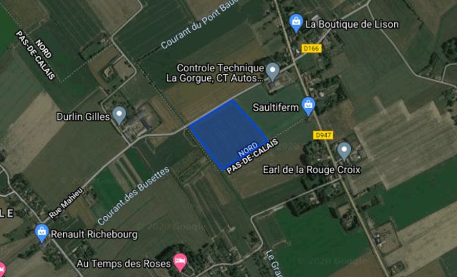
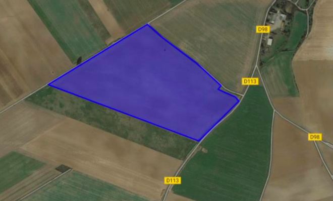
However, Wanaka is a small company with limited IT resources to create the necessary maps, layers, charts and analytics for its 3,500 customers across approximately 100,000 hectares in 2021. This limited bandwidth impeded Wanaka from taking on new business opportunities. Wanaka needed a solution to allow them to work smarter, not harder.
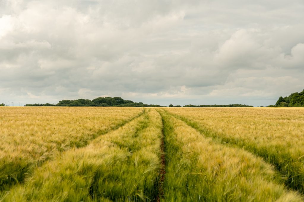
Like many businesses in the global agricultural industry, Wanaka relies on Earth Observation data—remote sensing of the Earth’s surface to analyze ground-level conditions and make more informed decisions. To gain its needed efficiency, Wanaka partners with EarthDaily Agro and its <geosys/> platform. The platform includes a robust data stream based on satellite and additional imagery, a powerful app with analytics-ready data and, most importantly, regular consultation with EarthDaily Agro agronomists. With this comprehensive dataset, Wanaka helps its customers calculate and apply a suitable nitrogen strategy at the field level for wheat, barley, oilseed and rapeseed.
“Through our partnership with EarthDaily Agro, we are able to optimize cost and more than double our land-monitoring capacity, which frees up our team members to do what they do best—providing the best agronomy advice to our customers.”
The data delivers a clear picture of what is in the field. Especially important for analysis and application within a field is a satellite-generated vegetation index. <geosys/> provides NDVI, EVI and additional indexes. The indexes are adjusted for atmosphere (clouds, haze and smoke), sun angle (corrected for comparison across time and source), as well as masking (clouds and shadows that interfere with quality data are omitted) for the most precise image.
From the images, agronomic analytics include nitrogen content, application amount and yield variability, among others. Analytics-ready data can be used in artificial intelligence and machine learning applications seamlessly, securely, and rapidly.
As a result of the data and analysis, Wanaka customers know the exact quantity of nitrogen to apply to each area of a field, reducing fertilizer costs, limiting environmental impact and meeting regulations. During its first season working with EarthDaily Agro, Wanaka more than doubled the number of hectares to 200,000 hectares for more than 8,000 farmers. Wanaka anticipates even greater increase with the arrival of the EarthDaily satellite constellation.
On the horizon: Daily observation from EarthDaily Analytics
Coming soon, EarthDaily Analytics will launch the EarthDaily super-spectral satellite constellation, the world’s most powerful global change detection and analysis system. In a unique combination of 23 spectral bands, the satellites will collect scientific-grade and analytics-ready imagery of the Earth’s land mass captured every day, at the same time of day and made available within hours through a cloud-based platform.