North America
5 Takeaways on 2022 Global Crop Production Powered by Earth Observation
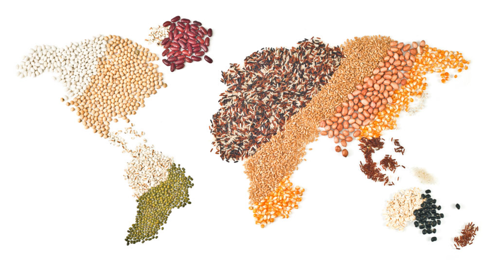
Every year comes with its own crop production challenges, but few years in recent memory compare with the disruptions of 2022. From the war in Ukraine to extreme weather patterns to rising population and more, a host of challenges tested the resilience of the entire agricultural supply chain. All year long, expert agronomists at EarthDaily…
Read MoreIf You’re Looking for Agribusiness Solutions, Look to the Sky

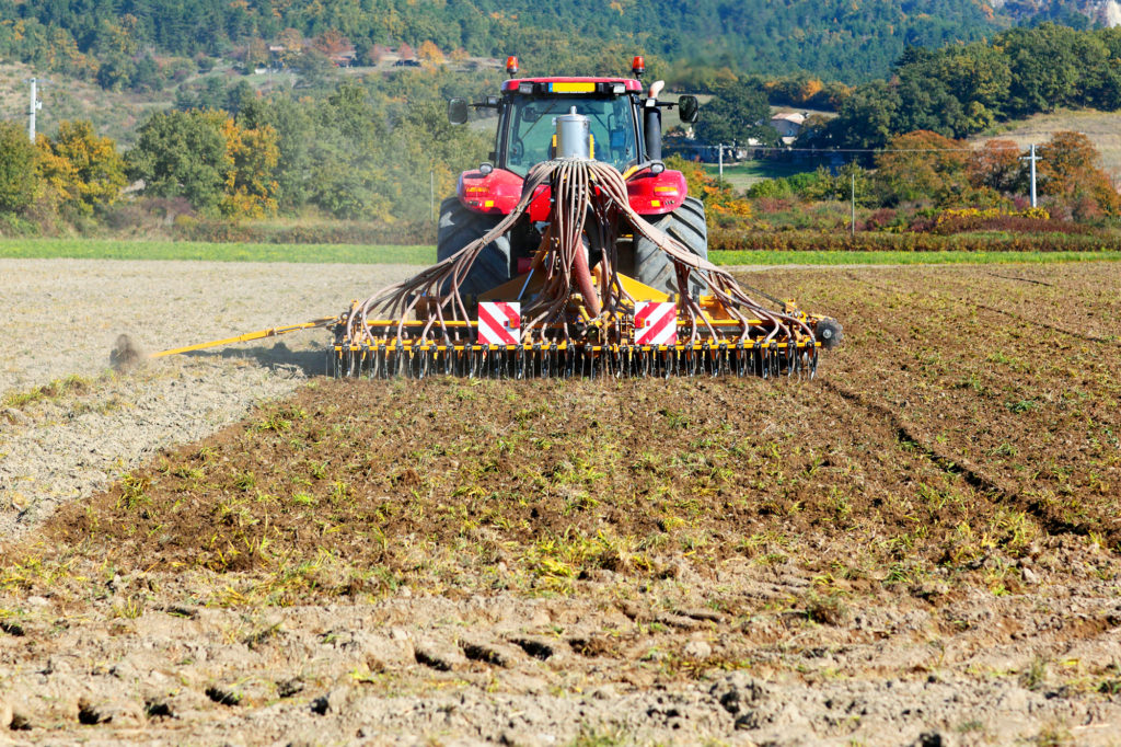
There are more than 8,000 satellites orbiting the Earth today — and almost as many different jobs they’re doing up there. Satellites have been helping humans solve problems for years. From capturing solar power to enabling global communications to viewing the deep reaches of space, satellites have been behind some of the biggest technological advancements…
Read MoreSatellite – Scaling Up Carbon Farming
In recent years, many studies on carbon farming practices have been done. Optimizing carbon capture on working landscapes is expanding in the United States and in other major production areas around the world. In coordination with these efforts, a framework is being structured that encompasses political and financial incentives, regulatory frameworks, contracted production, and debate…
Read MoreEmployee Spotlight: Rachel Leonard
How long have you been at EarthDaily Agro? 10 years! What’s your current position, and what does it entail? I am a business analyst, and my role is primarily to interface between sales, key accounts, development, data science, and operations teams to follow the project’s lifecycle from inception to delivery! I create a lot of…
Read MoreEmployee Spotlight: Aldo Rosete

What’s your current position, and what do you do? I joined EarthDaily 5 months ago and my present title is Senior Account Executive. My aim is to grow our clientele in Latin America by assisting associations, corporations, and more to enhance their operations through our services. This is because we know that in the world…
Read MoreUS Virtual Crop Tour

Our team of crop analysts constantly monitor the world’s major growing regions. To understand what’s happening in the ground, we look to the sky by using scientific-grade satellite data to power industry-leading analytics. This virtual crop tour is for purpose of check the current conditions in the Corn Belt area in the US and give…
Read MoreUS Virtual Crop Tour

Our team of crop analysts constantly monitor the world’s major growing regions. To understand what’s happening on the ground, we look to the sky by using scientific-grade satellite data to power industry-leading analytics. This virtual crop tour is for the purpose to check the current conditions in the Corn Belt area in the US and…
Read MoreEmployee Spotlight: Christina Collins

As a Sales & Business Development Executive for EarthDaily Agro, I work with companies to understand their needs and work to provide the best solution within the Agricultural Industry. Over the years, I’ve been rewarded with the opportunity to work with amazingly talented people, from innovative entrepreneurs disrupting the market to global seed and agrochemical…
Read MoreWork Smarter With Data-Powered Decisions

EarthDaily Agro Customers Share How Earth Observation Benefits Their Businesses Coinciding with its refreshed identity and enhanced services, EarthDaily Agro recently hosted a virtual panel with two of its industry-leading customers to discuss how their businesses have benefitted from earth observation technology. The discussion focused on the multitude of ways global agribusinesses are leveraging geospatial…
Read MoreFarmOp Capital to deploy EarthDaily Agro’ satellite crop monitoring

To help reduce risk for the company and its borrowers, FarmOp will use EarthDaily Agro’ analytics for crop performance monitoring in its lending and loan servicing operations.
Read More