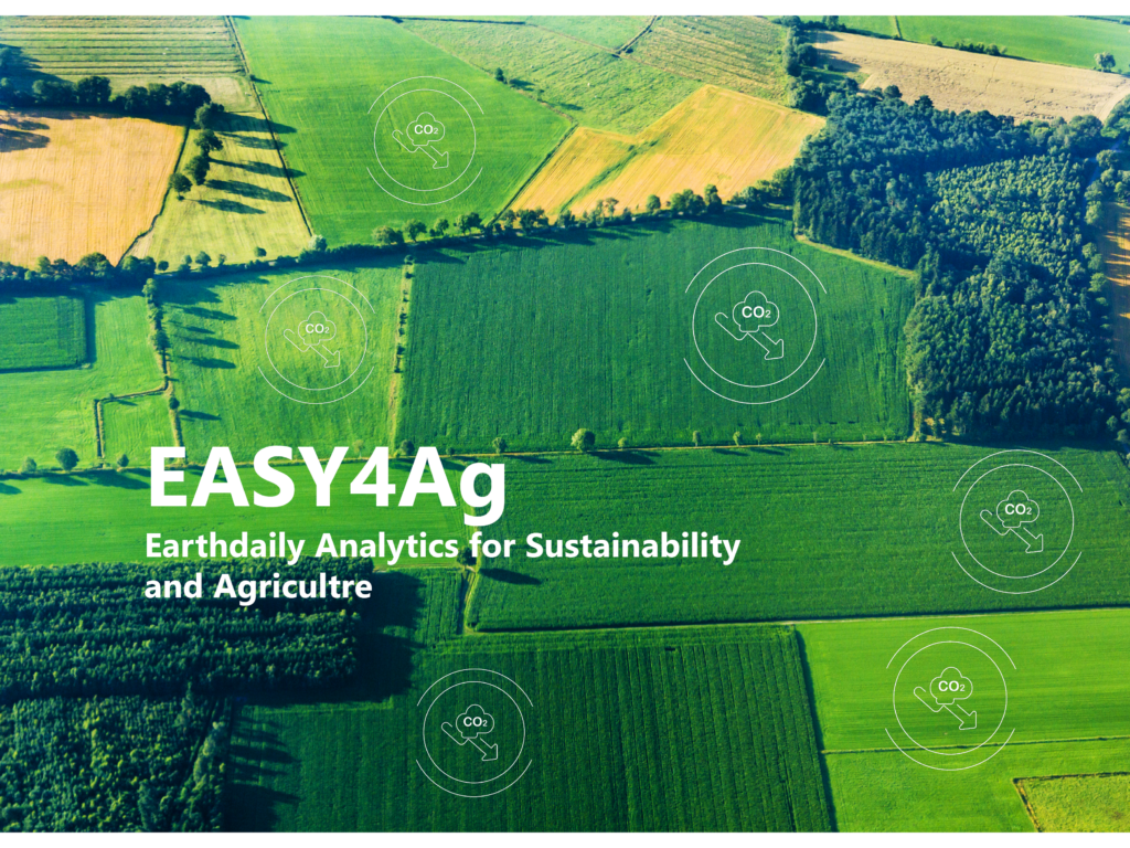
$1 Million Grant to Fund New EASY4Ag Program From EarthDaily Agro

Earlier this year, the prestigious I-NOV competition for French creative businesses and industry disruptors awarded EarthDaily Agro a significant grant of $1 million to address pressing agriculture challenges. With existing analytics capabilities and an upcoming next-generation satellite constellation, EarthDaily Agro has been recognized for major contributions to agricultural sustainability. EarthDaily Agro’s overall goal is to help transform large-scale agriculture by delivering metrics of high scientific quality from remote sensing and Earth Observation.
Project Description
The grant will fund a program called EASY4Ag (EarthDaily Analytics for Sustainability and Agriculture). Its goal is to provide innovative, high-performance tools based on satellite data to support an agro-ecological transition on a global scale, and a move towards carbon neutrality by:
- Identifying areas where traditional vs. sustainable farming practices are concentrated (geo-marketing, incentive policies, etc.)
- Ensuring easy integration with our customers’ digital platforms (carbon markets, buyers of low-carbon raw materials)
- Automatically identifying crop characteristics (rotations, field boundaries, type of ploughing/practices, etc.)
- Tracking the efficient transition to carbon-storing practices, at high spatial and temporal resolution
The new program will run through October 2024.
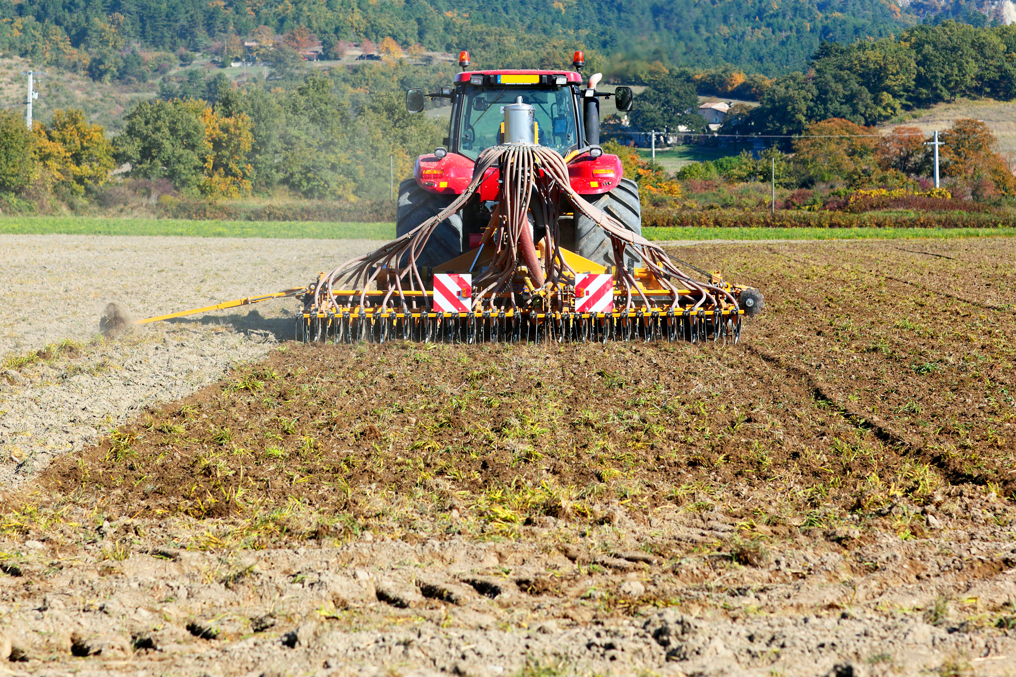
Earth Observation-based analytics have the power to significantly increase agricultural sustainability. For instance, EarthDaily Agro can quantify the effects of regenerative agricultural practices like crop rotation, cover crops, and no-till farming through ongoing monitoring, allowing farmers and businesses that support them to maximize their sustainability efforts while also maintaining healthy, successful operations.
Why EarthDaily for This Project?
With more than 35 years of experience, EarthDaily Agro processes analytics from local to regional scales, with near-real-time and spatially homogeneous data thanks to virtual and upcoming constellations.
The following parameters are particularly valuable to the project:
- Platform with an extensible and configurable interface and APIs
- Reduced field sampling, meaning lower expenses and more effective analysis
- Spatially homogenous processing, meaning local bias is reduced
- Historical time series of analytics to analyze dynamics and tendencies
- A market-exclusive grade of post-processing for agriculture
Our Partnership
EathDaily Agro partners with ag cooperatives, seed producers and private input producers located in the different areas of the “high-potential carbon diagonal” of France.
In order to develop new indicators for carbon stockpiling agricultural practices over large areas and in different agronomic contexts, EarthDaily Agro has established a partnership with the Center for Space Studies of the Biosphere (Cesbio-INRAE), which has advanced the scientific literature on agricultural mechanisms for storing additional carbon in soils.
Where We Are Today With This Project
The main challenges of the project concern, firstly, the adaptation of the current platform to the arrival of the new EarthDaily images, leading to 20 times more data to manage as compared to the currently available public data sources Sentinel-2 and Landsat-9. In addition, the challenge is to maintain the same level of quality currently recognized by our customers (data quality, speed, and quality of service) for delivering pixels ready to ingest into AI/Ml pipelines that produce real-time analytics from field to country levels.
Finally, the design of models to extract the relevant information on the event to be detected (field practice) remains a major challenge, given the need for this detection to be reliable and consistent not only in France, but also in geographical areas of the world with very different agricultural systems (e.g., USA, Europe, Brazil).
What was done:
- Software architecture. They evaluated various architectural scenarios. For each, tests and prototypes were carried out to verify the technical feasibility, performance, and cost of stocking, processing, and transferring the data.
- Time series processing chain. The time series is the basis for calculating different analytics and indicators for the end user. We must first remove data anomalies such as clouds, shadows, and haze from the satellite imagery to use the medium-resolution data for field-based services. So the project’s first part is to develop and deploy our new clear mask generation algorithm in Python. This new version improves the performance: twice as fast for Sentinel 2 images and four times faster for Landsat 8 and 9 (compared to the last version).
- Indicators for Monitoring Agricultural Practices. The basic indicators (automatic field borders, crop identification) required for large-scale application of the solution were created. Other phenology indicators (emergence, flowering, harvest) or indicators directly linked to carbon storage are currently being developed.
The project is currently entering a vital phase, during which we are beginning to present our customers, prospects, and French partners with prototypes and initial results, in order to get their feedback and measure the applicability of our solutions in the field. This will help us fine-tune the remaining work on the project.
What This Means For Customers and Prospects
Today, carbon is becoming more and more of a topical issue for farmers and agribusiness, carbon credit stakeholders, institutions, and society. We invite you to consult this article to learn more about the benefits of satellite use in carbon approaches for your area of interest.
Aside from carbon, other areas where data from space is enabling us to broaden our perspective and scale up our efforts include biodiversity and water management. Contact us to learn more about these initiatives.