Uncategorised
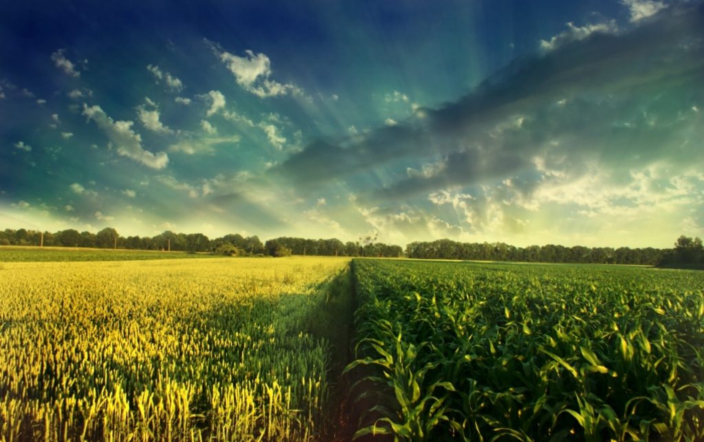
While RS submerges, drought reduces corn harvest in north-central Brazil, says EarthDaily
Value Chain Collaboration Enables new Solution among the lowest carbon intensity renewable fuels in the marketplace.
The world’s agri-food leaders are aligned — this is an industry with immense potential to drive positive influence on worldwide climate resilience. For many organizations, the first steps — prioritizing the importance of climate resilience and deciding what commitments to pursue — are complete or in-progress. This is a milestone to celebrate. The momentum that…
Read MoreUnlocking the Potential of Remote Sensing: Estimating Winter Cover Crop Biomass Using Sentinel-2 and Machine Learning
In the pursuit of sustainable agriculture and climate change mitigation, understanding and quantifying the biomass of cover crops during winter fallow periods is crucial. However, traditional methods for estimating cover crop biomass often lack spatial precision and objectivity. In a groundbreaking study published in Remote Sensing, researchers have harnessed the power of remote sensing technology…
Read MoreBrazils Second Corn Crop Threatened by Dry April in Top Grains State
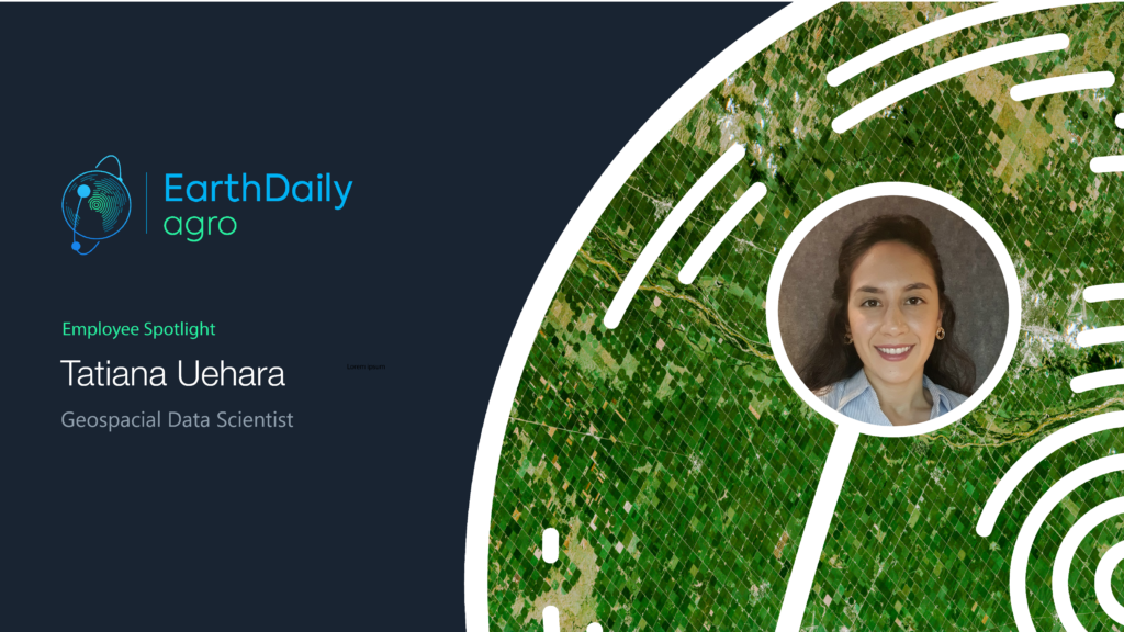
Employee Spotlight: Tatiana Uehara
How long have you been at EarthDaily Agro? I joined EarthDaily Agro two years ago. I have a degree in Geography from the University of São Paulo in Brazil and a master’s degree in Remote Sensing from the National Institute of Space Research (INPE). I lived in Seoul, South Korea, for six months during a…
Read MoreExamining Global Corn Supply Disruption Amid the Russia-Ukraine War
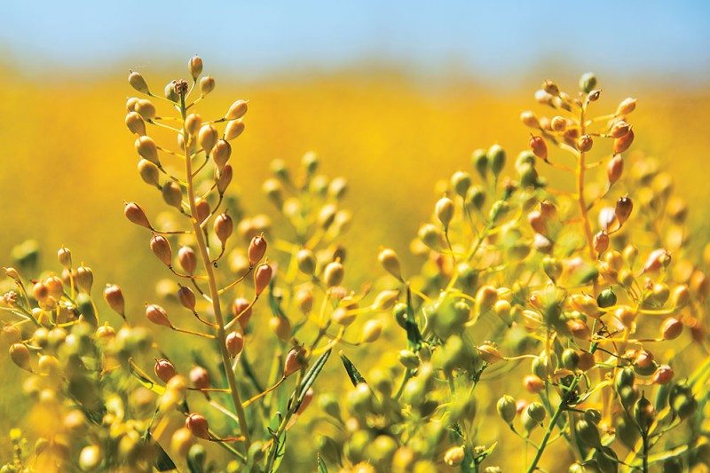
Today’s global food supply chain is highly connected, and the current war in Ukraine has created a tangible disruption in worldwide food security — specifically when it comes to wheat, corn, barley, sunflower/rapeseed and fertilizer. In response, EarthDaily Analytics and its EarthDaily Agro agriculture division are harnessing the power of Earth Observation technology to actively…
Read MoreRemote sensing for oilseed rape fertilisation – How EarthDaily Agro supports nitrogen management.
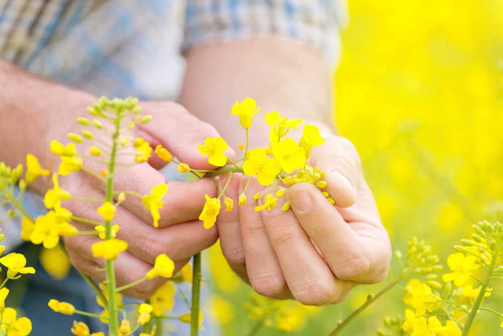
Satellite imagery technology is a component of precision agriculture that accompanies agricultural practices. During this winter period in Western Europe, satellite images are being used on winter oilseed rape fields to adapt nitrogen fertilisation and better distribute it into the field, thanks to variability maps. Biomass is an indicator of the amount of nitrogen absorbed…
Read MoreSpend less data scientists’ time cleaning data: High-quality cloud masks for Sentinel2, Landsat, and others available today
Earth Observation has a long history of serving agriculture, from governments to many types of agribusinesses. Recently, new advances have equipped providers with a greater ability to drive even more value. In producing high-quality geospatial analytics, one of the major challenges for providers is clouds, shadows, and haze on satellite imagery. Crop monitoring by satellite…
Read MoreEmployee Spotlight: Christina Collins
As a Sales & Business Development Executive for EarthDaily Agro, I work with companies to understand their needs and work to provide the best solution within the Agricultural Industry. Over the years, I’ve been rewarded with the opportunity to work with amazingly talented people, from innovative entrepreneurs disrupting the market to global seed and agrochemical…
Read MoreEmployee Spotlight: Guillaume Huby
How long have you been at EarthDaily Agro? Eighteen years. I joined EarthDaily Agro two times – first in 2003 as an intern, and the second time in 2005 as a full-time employee and never looked back. Could you speak about your background? With a mathematics and modeling background, I started as a data scientist.…
Read More
